Did you know? – part 4

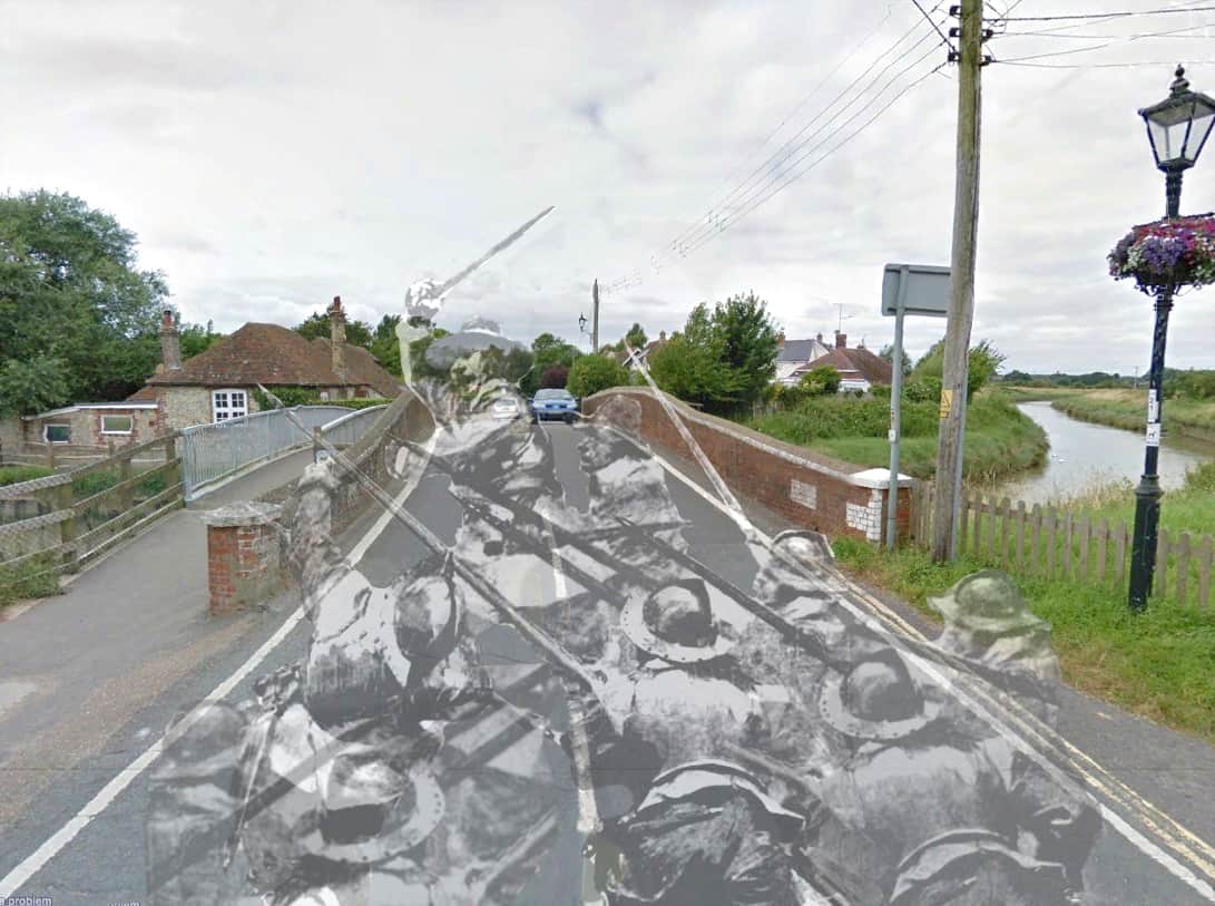
… that Shoreham was supportive of the Parliamentarian cause during the Civil War and in the 1640’s was home to a strong defensive force of several hundred Cromwellian soldiers. The harbour and riverside were also fortified with cannon and troops and defences were also set up at Bramber (Beeding) Bridge (the nearest river crossing to the south). At the time of the siege of Arundel a skirmish with the Royalists took place at Bramber Bridge in January of 1644 resulting in the death of nine Royalists and the capture of another. One of the Parliamentarian dragoons was also killed and it seems that others may have later succumbed to their wounds as St.Mary’s parish records for that month shows Captain Dike, Captain Carleton and ‘six soldiers buried.’
 

Did you know? part 3

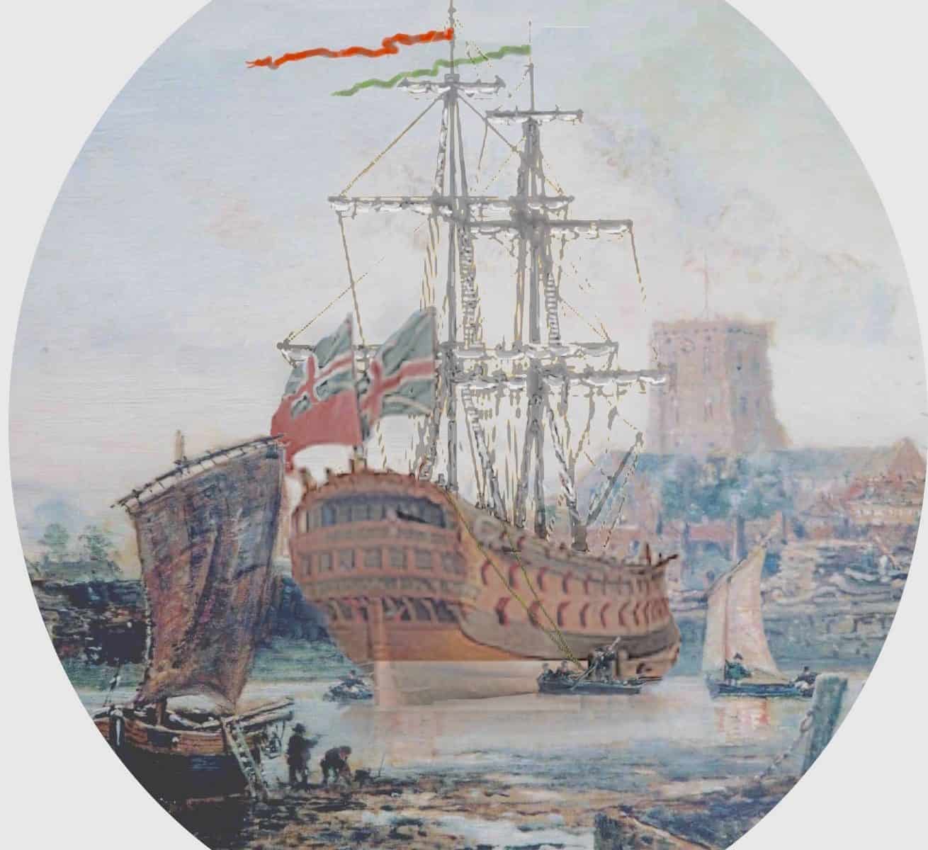
….. at 533 tons, length 104 feet and armed with 48 guns HMS Dover was probably the largest vessel built at Shoreham for the Royal Navy. Launched in 1653 she saw action at the Battle of Lowestoft 1665, the Four Days Battle and St. James Day Battle  the following year, the Battle of Martinique 1667 and Battle of Solebay 1672. Her duties took her to the Mediterranean, Newfoundland and Ireland and during the 1690’s captured three French ships Lion Eveille, St. Antoine and Marianne as well as a privateer the Beaulieu.

Did you know? part 1

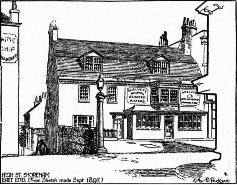
– that the ancient Parliamentary Stones that once stood in the road by Stone House (now the solicitors’ office next to Coronation Green) and the two surviving 18th century tuscan columns from the ten that once supported the 1711 Market House in the High Street were removed during the 1938 road widening. In 1983, Reg Leggett, a long standing crusader for the preservation of Shoreham’s architectural history wrote “When I last heard of them….. they were reposing in the Council yard in Ropetackle, and some of us in this town would like to see any missing or damaged sections of these columns (and stones) made good and that they be re-erected (as near to their original sites as is practical)…………….”

We are still waiting

Image: Arthur Packham’s drawing of the stones and the easternmost column in use as a lamp post

All mod cons provided!

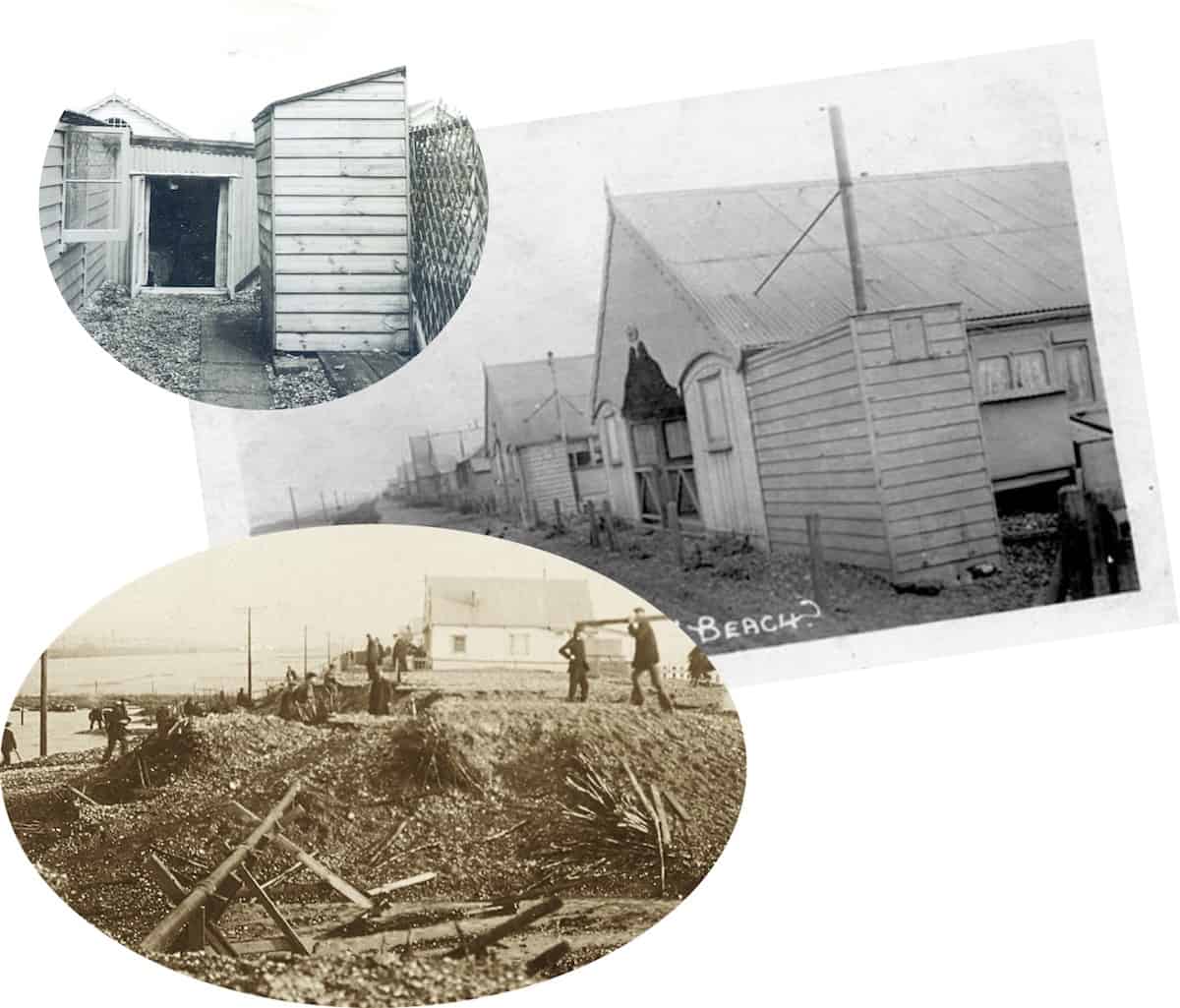
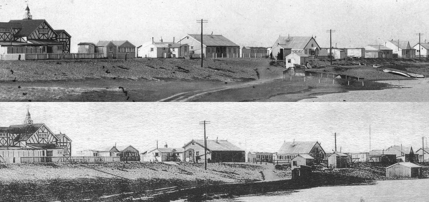
With every new photo there’s always something that catches your eye. We’ve seen photos of outside loos in BT (top left) but in the central photo of ‘Beach House’ and neighbouring bungalows on Widewater beach it’s the extensions onto the sides of both the nearest bungalows that draw your attention. They seem unnaturally narrow – perhaps a loo at the end, discreetly away from the main part of the bungalow? On the other hand there are stove pipes coming out of both – perhaps stoves for hot water isolated from the main building to lessen the fire risk? Perhaps a combination of both to provide a cosy sitting during natural breaks?
Anyway, the toilet answer seems likely as the photo of the 1910 storm shows soil pipes that line up with the front part of the bungalows – it also tells us that although we read about regular septic tank collections for BT there were certainly parts of the beach that had ‘sophisticated’ sewerage disposal!

Spotted in Southwick Locks

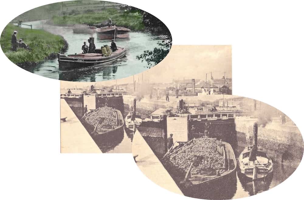
The eye-glazing tedium of the repetitive editing and loading of countless postcard images does have its benefits as you get to enjoy in detail superb images you’ve not seen before. This one caught my eye. Do you remember the Marlipins Museum postcard of the river tug ‘George V’ towing barges up river? We’ve found another – detail from Alan Humphries’ postcard of the locks reveals what looks like the vessel’s identical sister boat ‘Edward VII’ (assuming the ‘II’ to be hidden by the rudder) – such small tugs yet obviously capable of towing two huge fully loaded barges.  I wonder what Shoreham  family worked them?

Lighthouses

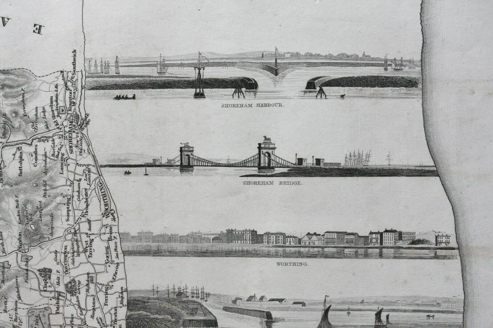
The Kingston lighthouse was built in 1846. These 1837 vignettes include one (just barely visible) of the earlier lighthouse that stood in the grounds of Kingston House near the harbour entrance. A wooden structure with a square glass-windowed top. It sounds to have been a bit unsteady as concerns were expressed as to the damage that could be caused by passing trains when the line from Brighton was built.

When the Romans came

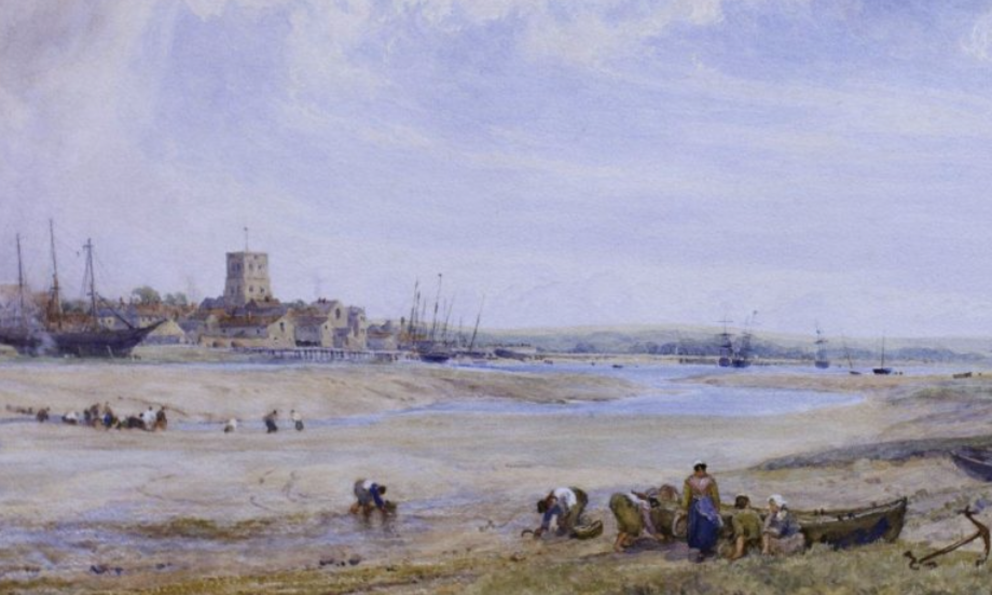
We know our coast line over the centuries has changed a lot. Eroded in some places – e.g., locally the loss of the village of Pende to the sea – but built up in others as evidenced by the spit created for Shoreham beach. Generally though it seems for the majority of the south since Roman times the coast has been eroded but by how much?
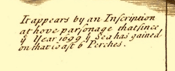
I’m sure erosion doesn’t happen at a constant rate but there is a indication in our 1724 Phillimore Margary map that has the attached notation entered just below Hove. It suggests that six perches were lost in 25 years. I’ve forgotten, perhaps never knew, the old surveying measurements so had to look up perches but anyway six of them apparently equate to 33 yards (still can’t be bothered with metric measurements) and with 1,760 yards to a mile (funny how some numbers stick in your mind and that one has) the loss at a constant rate would take 1,333 years to lose a mile.
I’ve never been good at sums and bet I’m wrong again but if for once I’m not then it seems when the Romans came our coast may have been a mile or two further out.