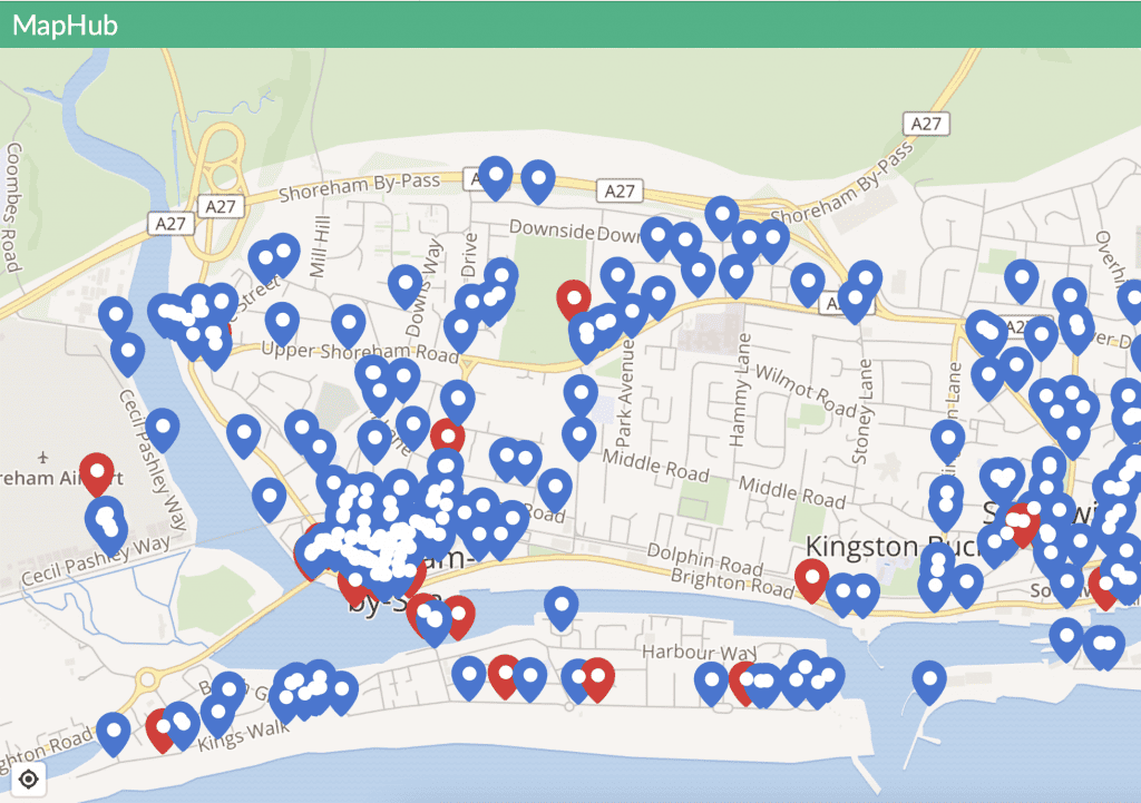
Shorehambysea.com has embarked on a new project to map the locations of the 3000+ photographs it has in the various galleries. The map will eventually have a layer of pins showing where each image was taken, a description and click-to-view link to the full size image.
The plan is to build this resource with the help of local volunteers who will add the pins to the map from the original galleries.
Shoreham-by-Sea.com Photo Map Project:
The best viewing experience is on a Mac or PC. The map is zoomable and you can click the pin to reveal a thumbnail image and description. Click the thumbnail to reveal the expanded image. You will find the original photo galleries collected in the top Menu under Photos.

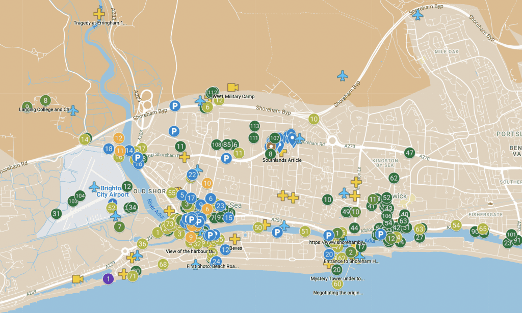
Istvan Radi’s personal map project: