
This pdf map of the entire site shows the expansion and change of use of the fields over time from 1910 to 1950. Compiled from various sources and original research of Tim Webb “History of Shoreham Airport” Pub.1996
Continue reading “Shoreham Airport – a timeline of development”Film compilation of Shoreham
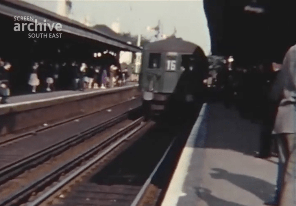
Shoreham Airport – Shoreham Peeps (1962)
Railway station and traffic on the streets – A River Runs Through Our Town (1962)
The beach and boats on the water – Shoreham Peeps (1962)
The harbour, followed by shops in the town including a butcher, postman, dustman and policeman – A River Runs Through Our Town (1962)
Winter scenes in the town centre – Shoreham Peeps (1962)
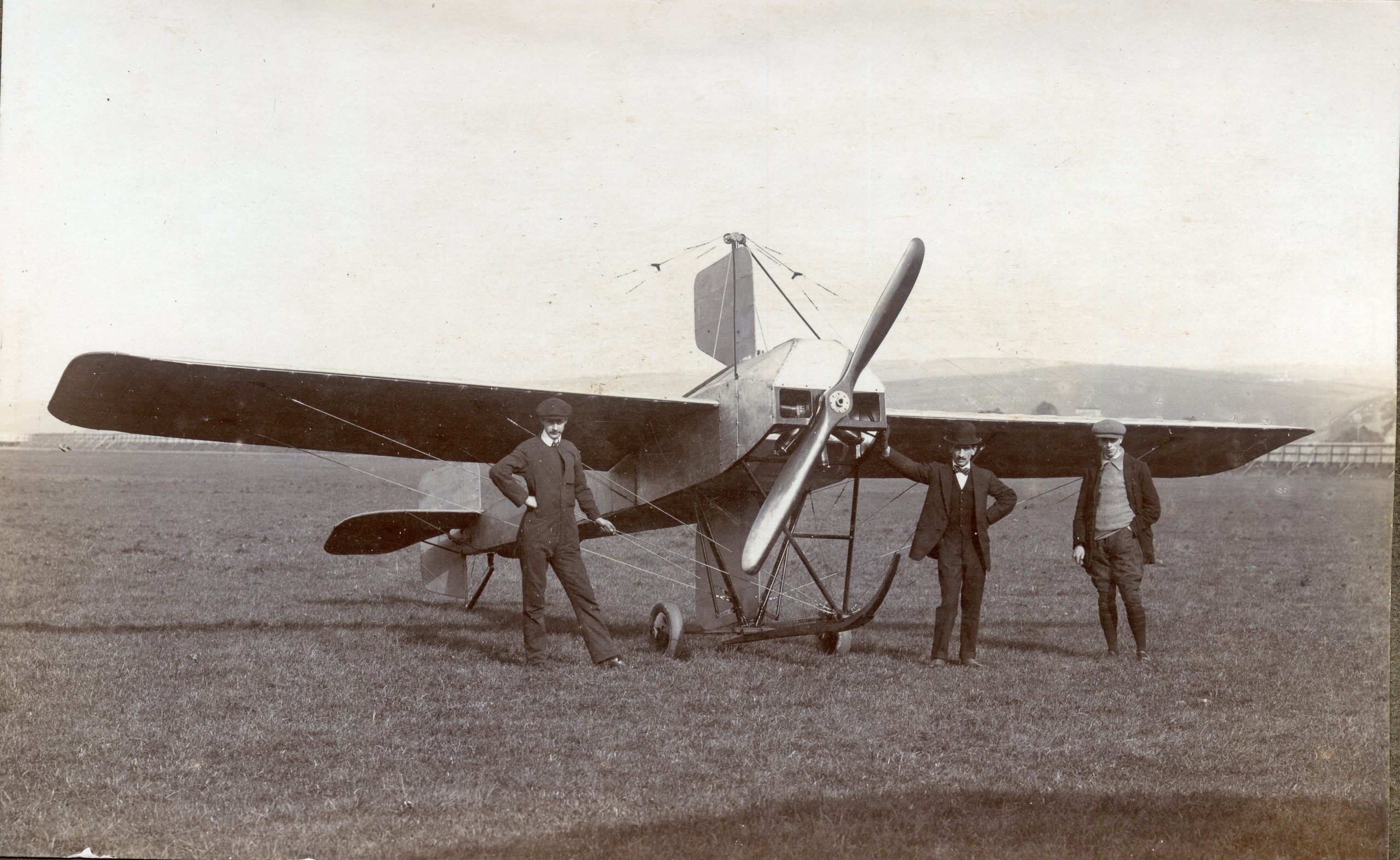
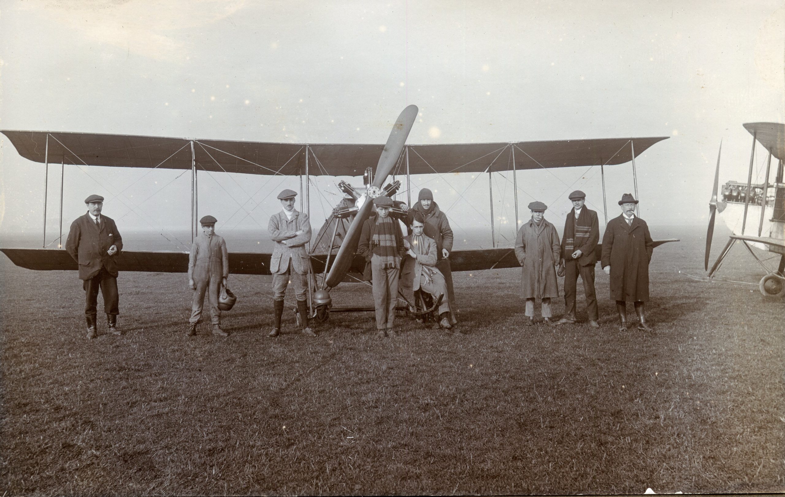
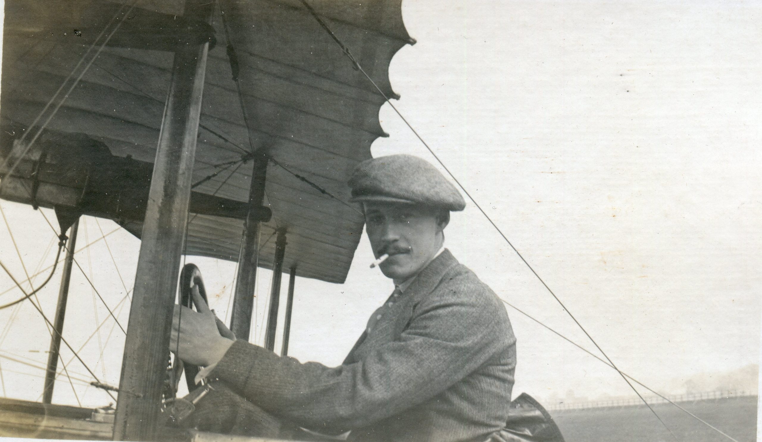
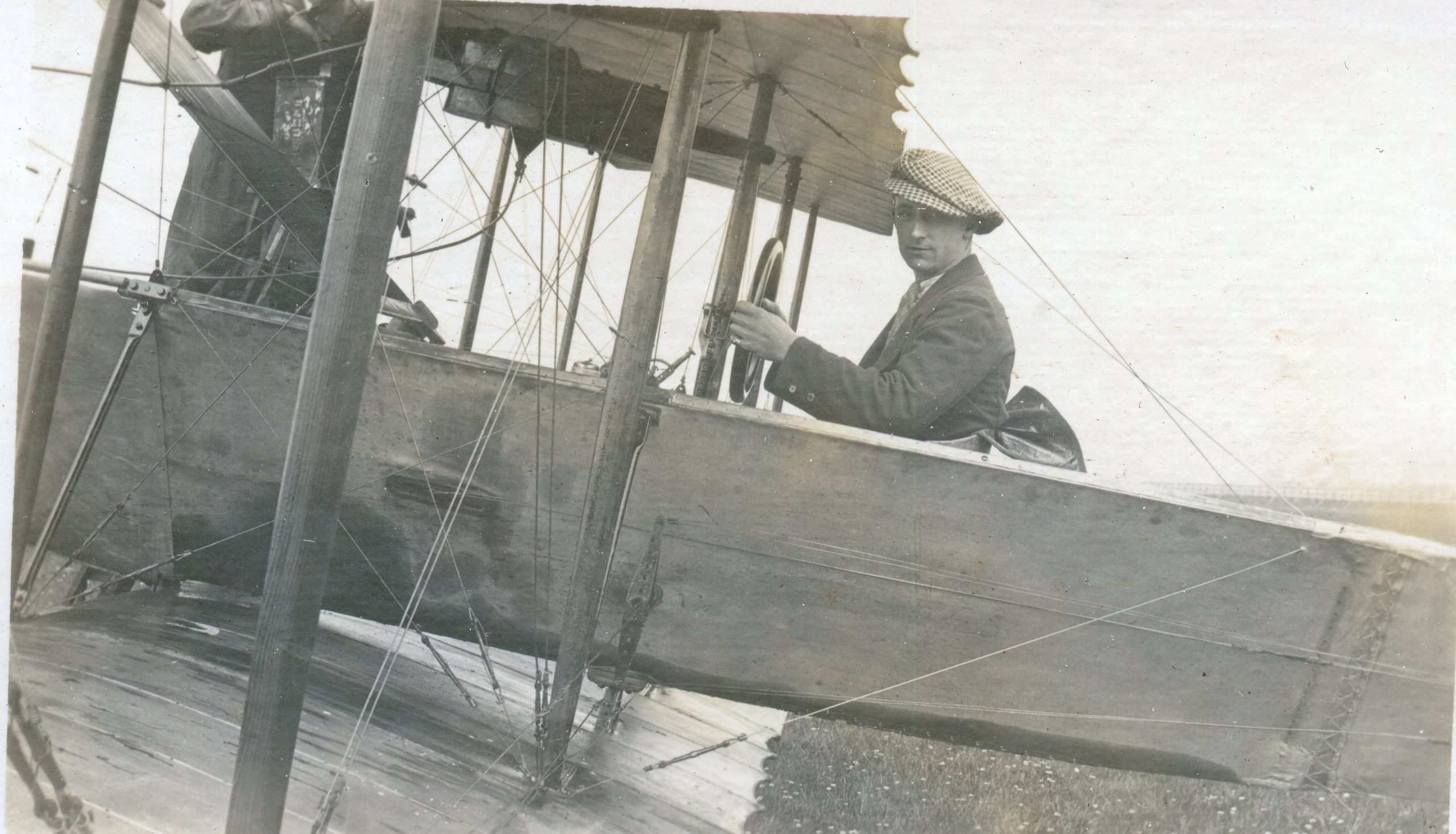
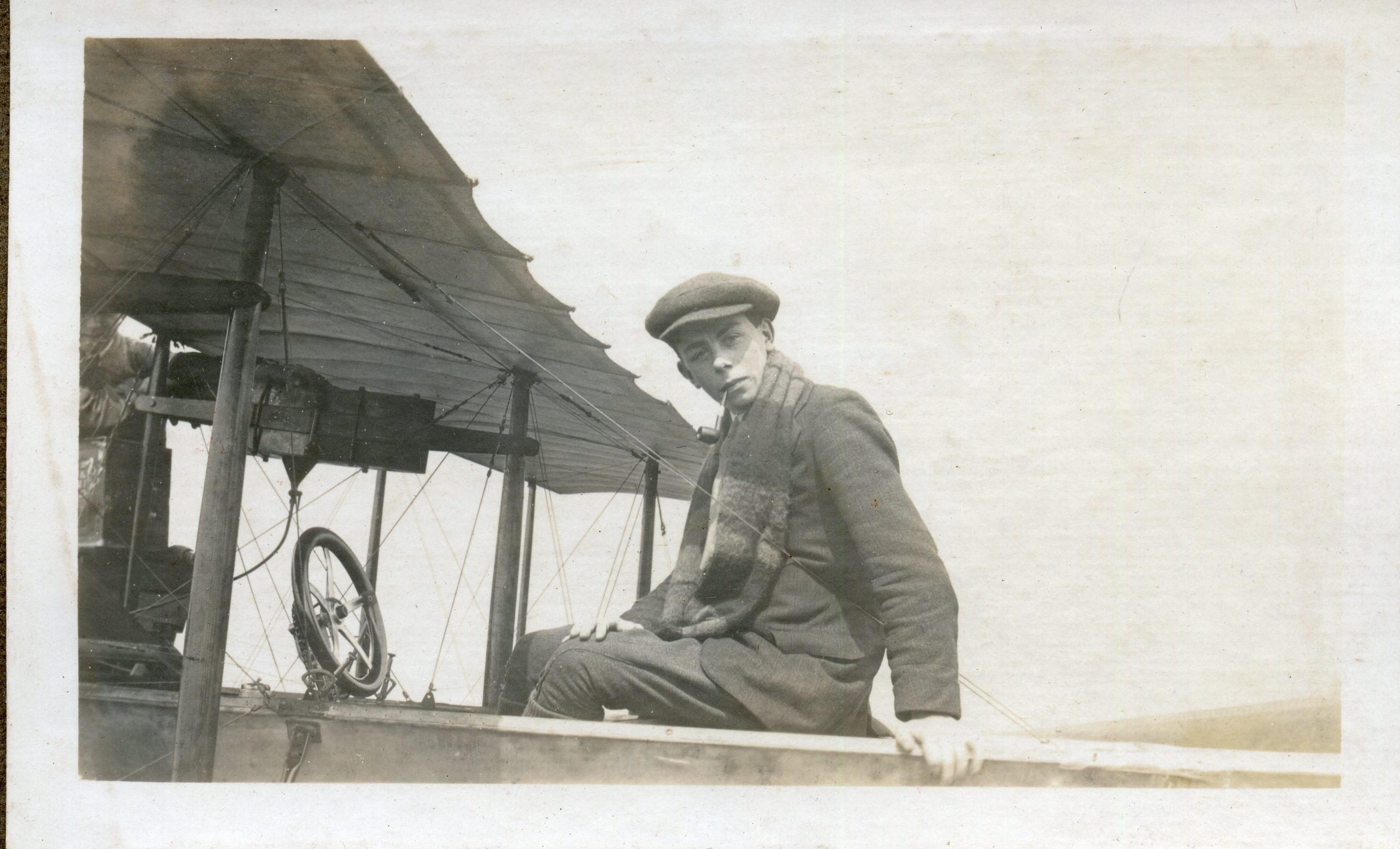
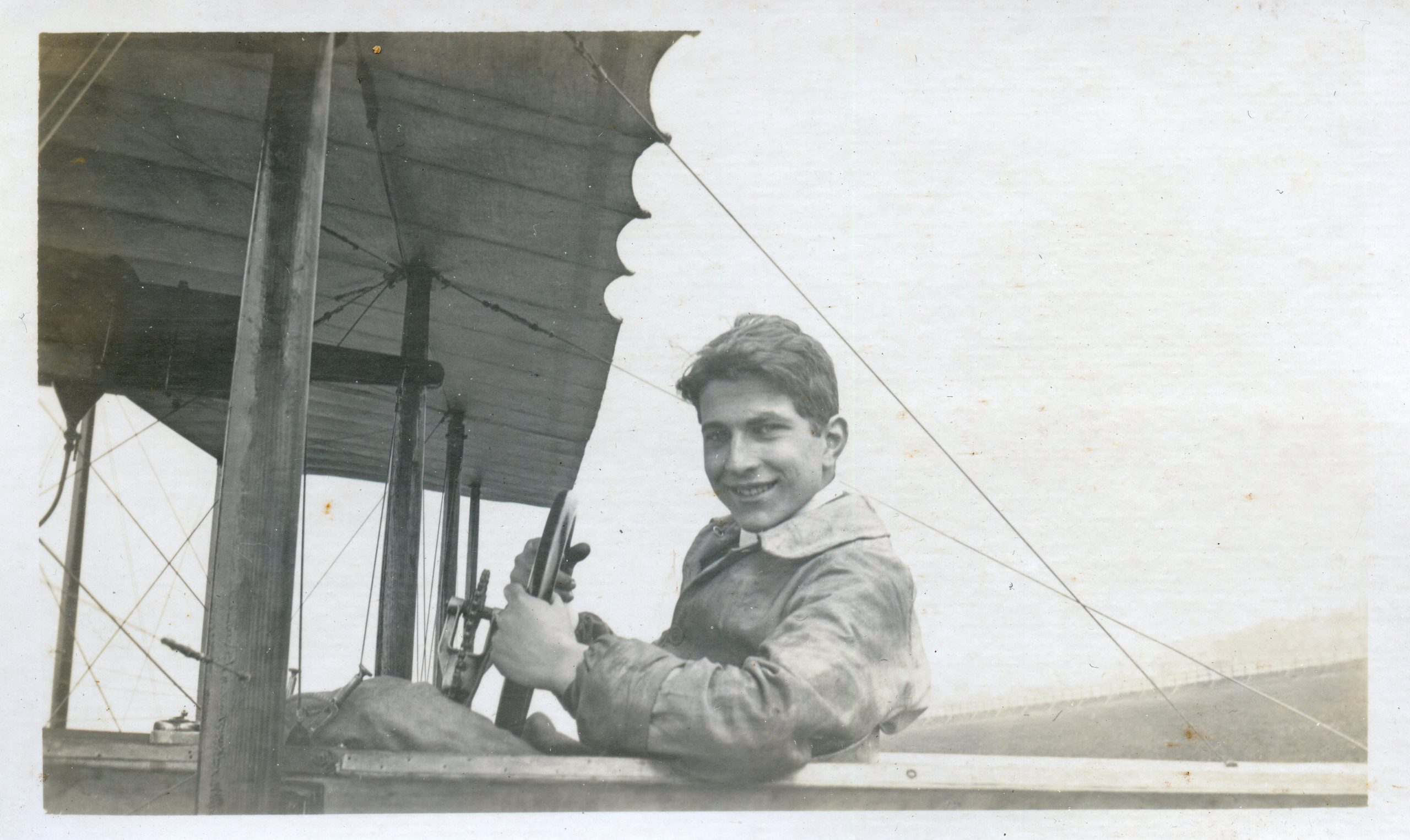
Aerodrome c1913
A collection from Alex Robertson. The early days of aviation at Shoreham.
For a detailed article on the earliest days of aviation at Shoreham visit here.
For a graphical timeline of the expansion of the aerodrome site visit here.
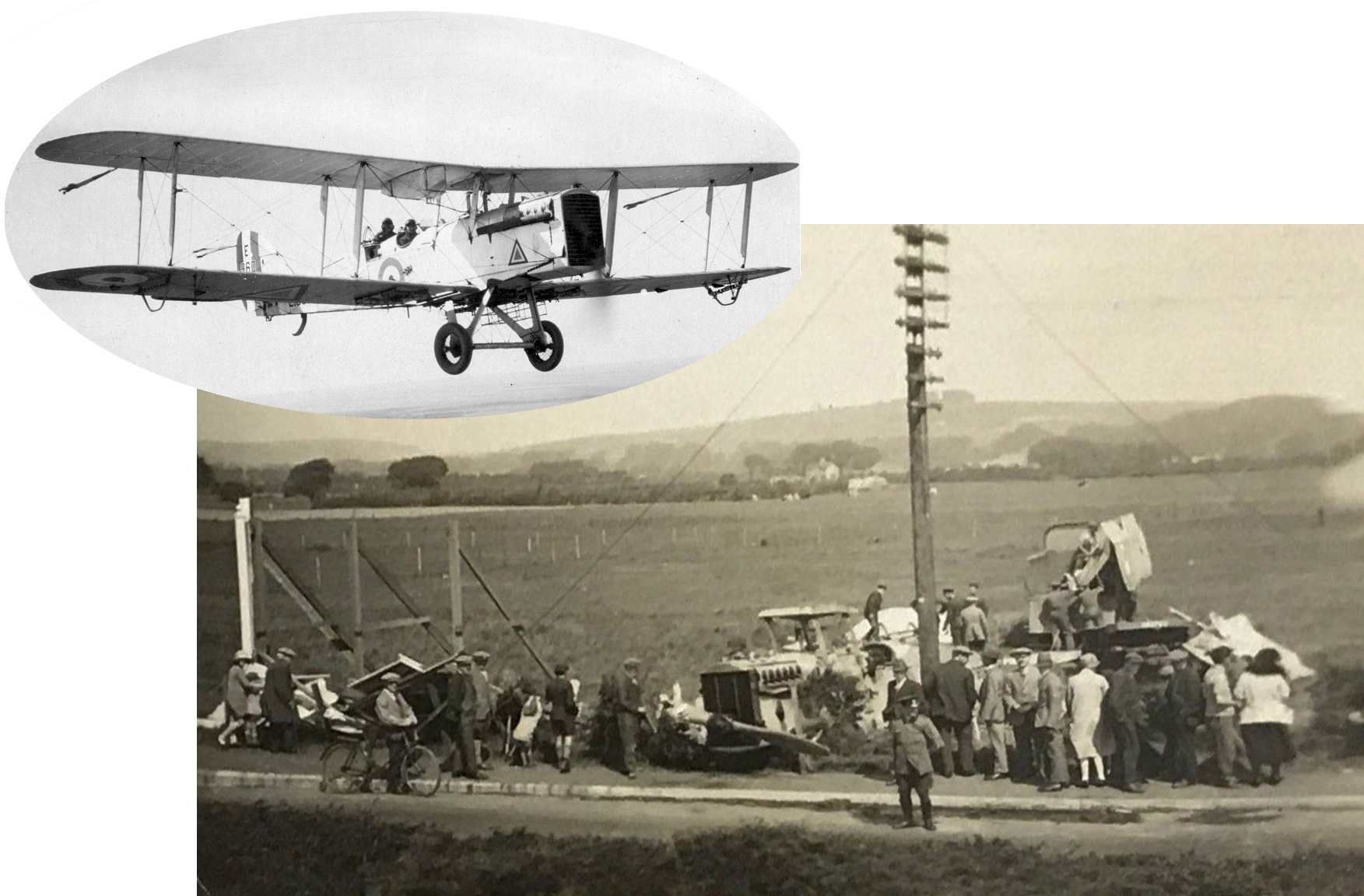
Airco crash Lancing
Nelson writes:
It’s been some time since I last saw this photo and don’t think it has ever appeared on our forum before – even if it has it is probably worth another look.
Lancing Clump in the background. Decorative board on the left probably advertising a new estate of houses and behind it the intended buildings have been staked out. In the centre is what appears to be a tractor surrounded by debris ……. until you realise the tractor has a propeller attached to it and uniformed (RAF?) men clamber on the wreckage to load broken aircraft wings on to a lorry. The aircraft looks much like an Airco DH9A used by the RAF from 1918 to 1931 that has come down in Lancing on an approach to the airport.
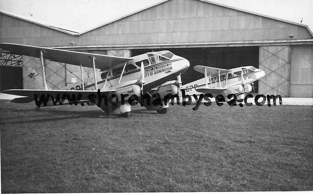
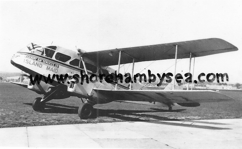
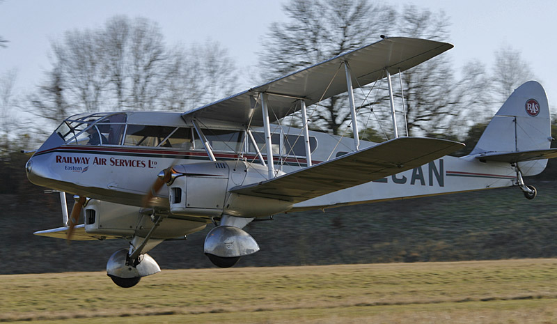
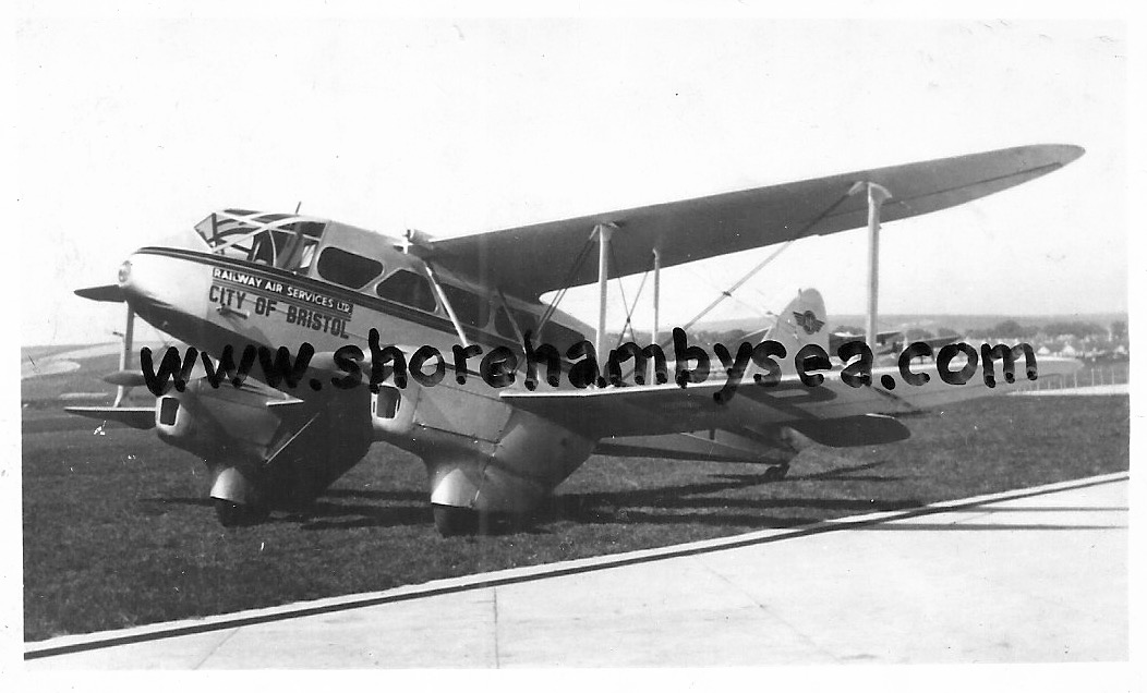
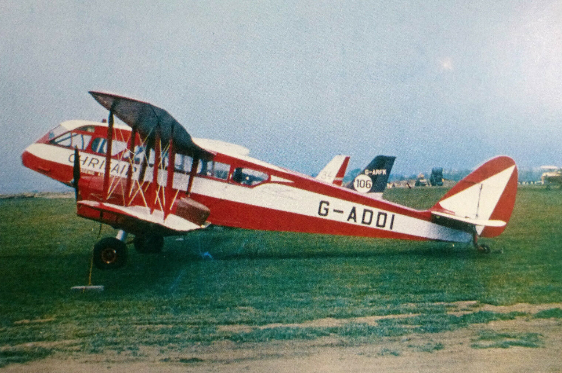
Survivors of Railway Air Services
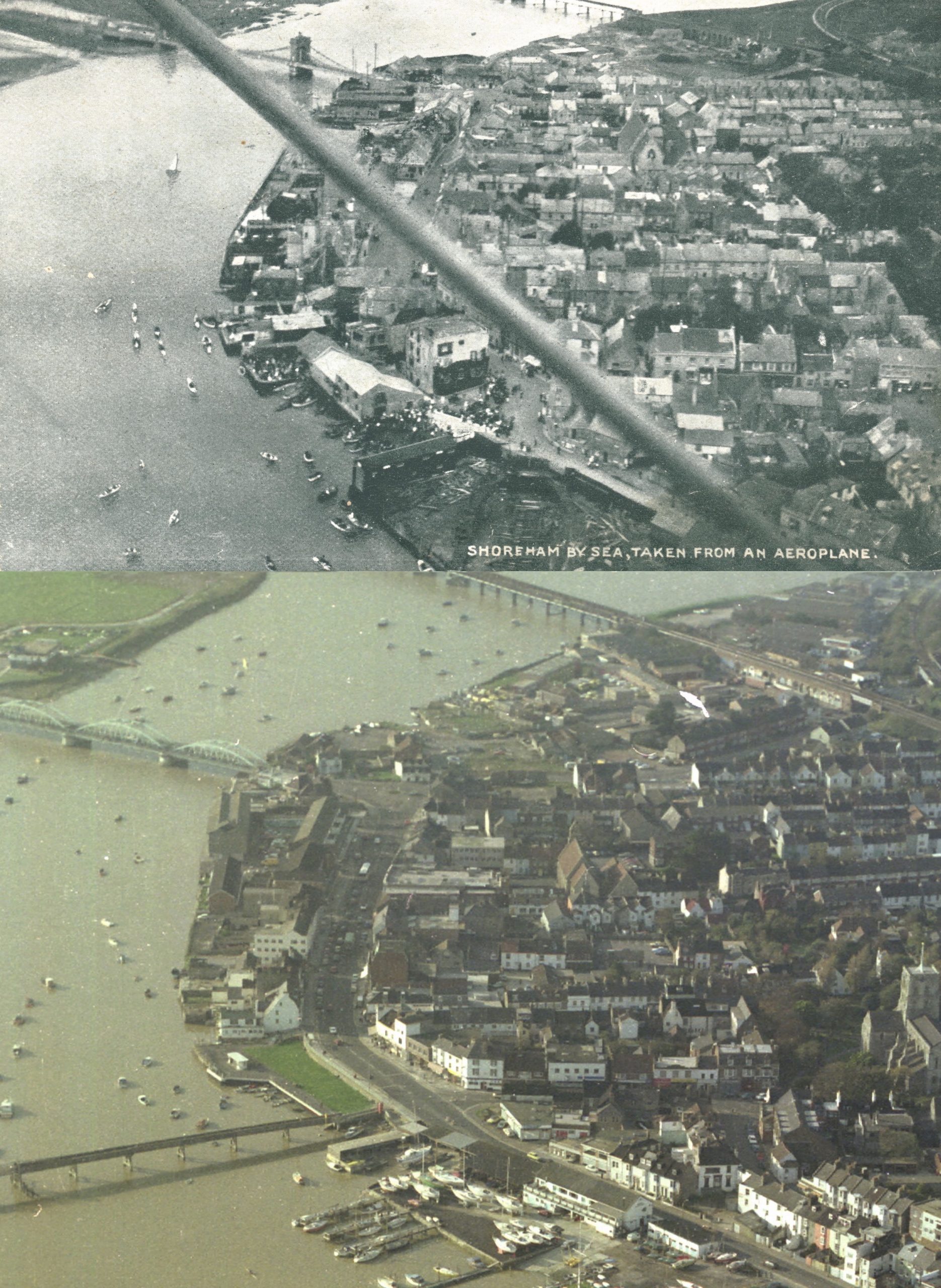
70 years apart
About 70 years between these two photos (c.1912 & 1980’s) not a precisely exact match but close enough for it to have been a near miss if both aircraft had been flying at the same time.
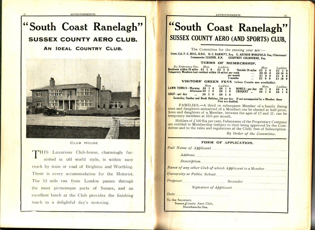
The Sussex Aero Club
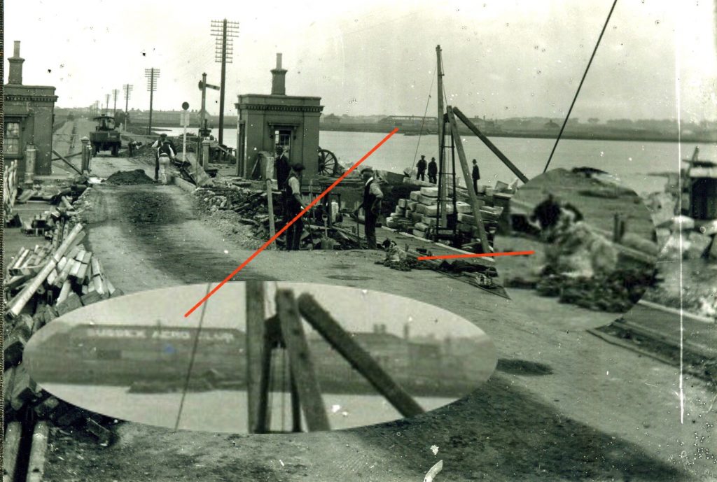
A little bit of hidden history in this photo. ‘The Sussex Aero Club’ painted on the roof of the barn next to New Salts farmhouse and the demolition of the original Norfolk Bridge tells us this is 1922 – a year when the airport was not in use and aircraft flew from Easters Field behind the barn.
Lofty adds:
Notice the railway-type signal at the approach to the bridge. This is operated via a chain that runs down the side of the signal and into the pavement.
I have always wondered – was this signal controlled from the nearby office/booth, or from the similar building located at the other (east) end of the bridge, thus allowing one-man operation to control the traffic ?
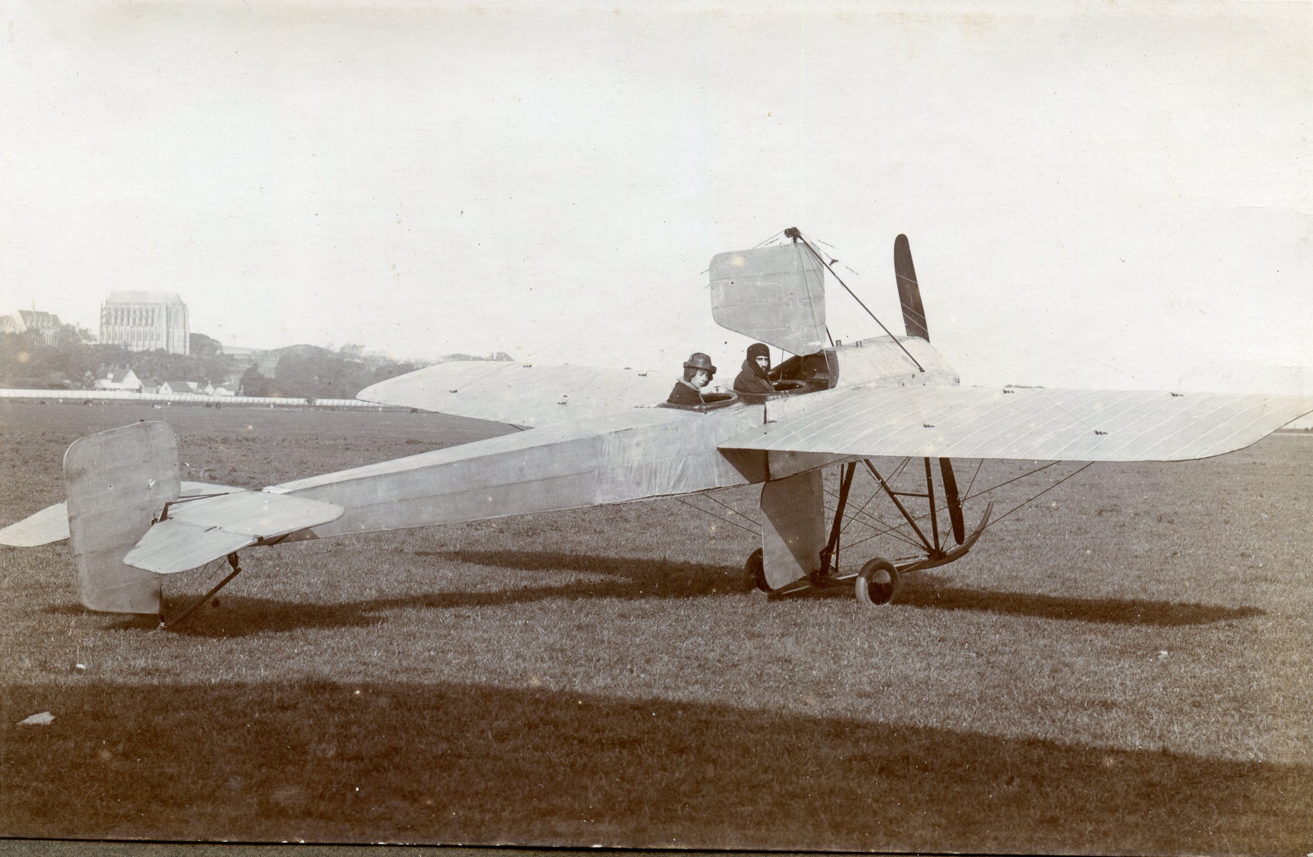
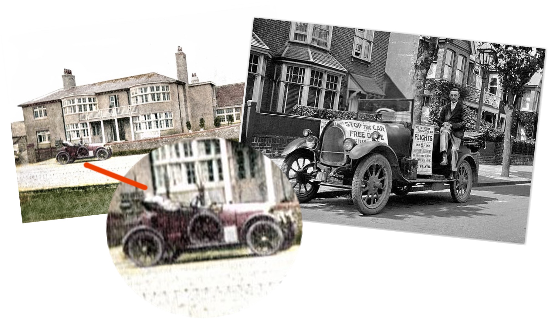
Flights from Salts Farm
The old aero club at Salts Farm shows a car outside which reminded us of another photo of George Miles in the same car that he used to bring customers to the airport for flying trips with his brother Fred. In those days George lived in digs in Pembroke Avenue, Hove where he parked the car still decorated with the posters pasted on it. (Photos courtesy Neil De Ville)
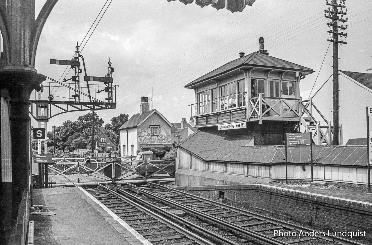
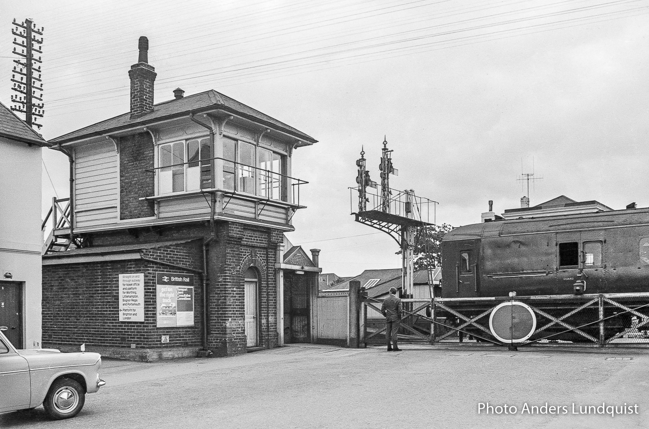
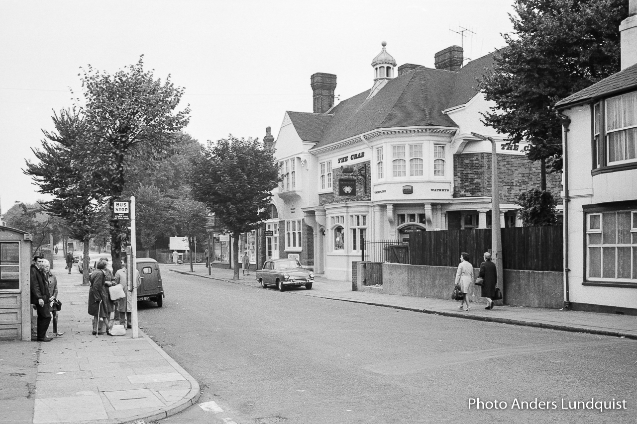
Anders Lundquist Collection
Anders Lundquist Collection
Anders passed through Shoreham on many occasions from the 60’s As a keen amateur photographer he decided to record the ordinary. 50 years later that ordinary provides an evocative window into a once familiar world.
List of air accidents at Shoreham
A compilation of data from various sources including:
https://air-britain.com/pdfs/military/Crashes_in_the_South_East.pdf
https://aviation-safety.net/database/databases.php