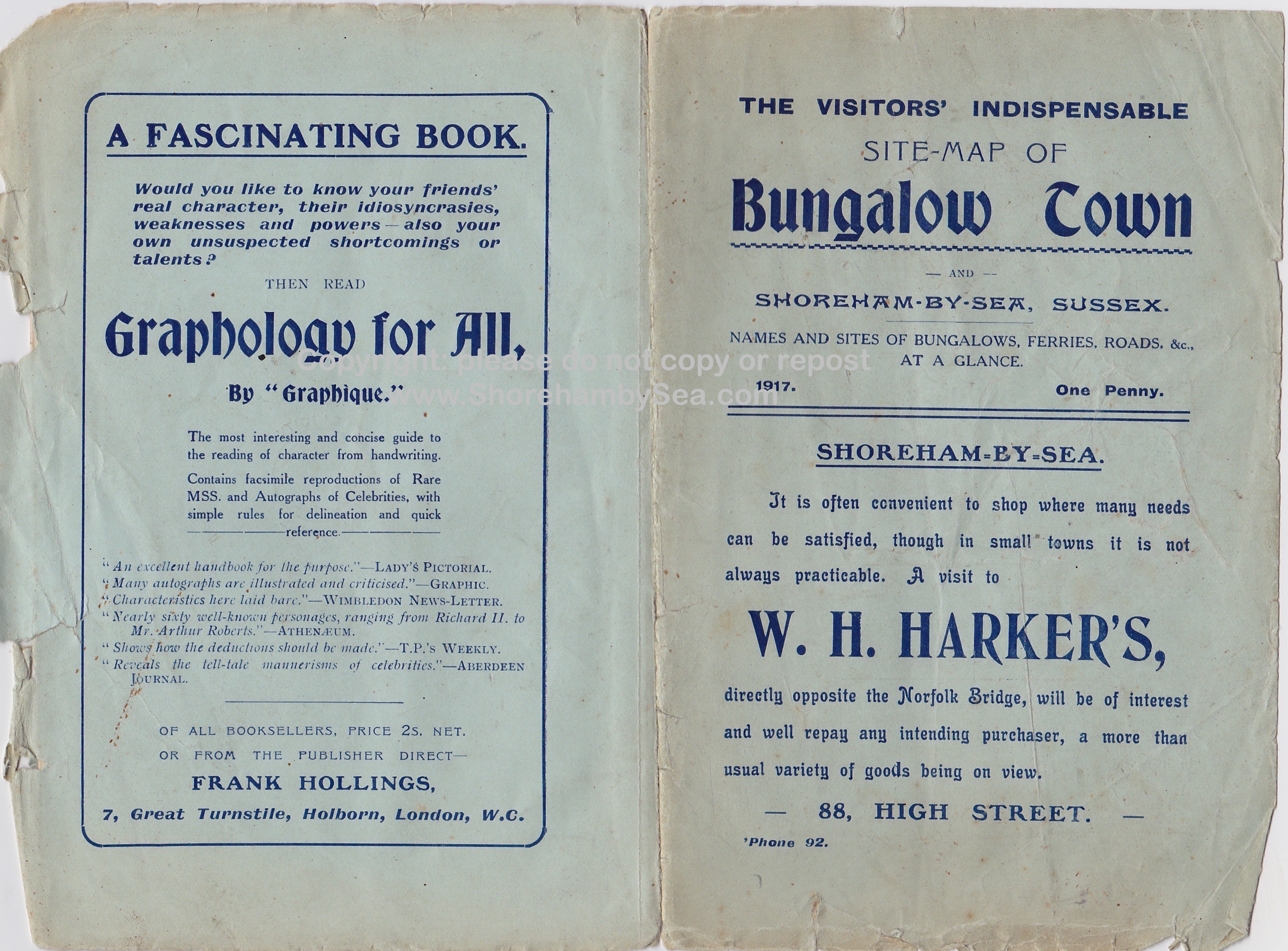
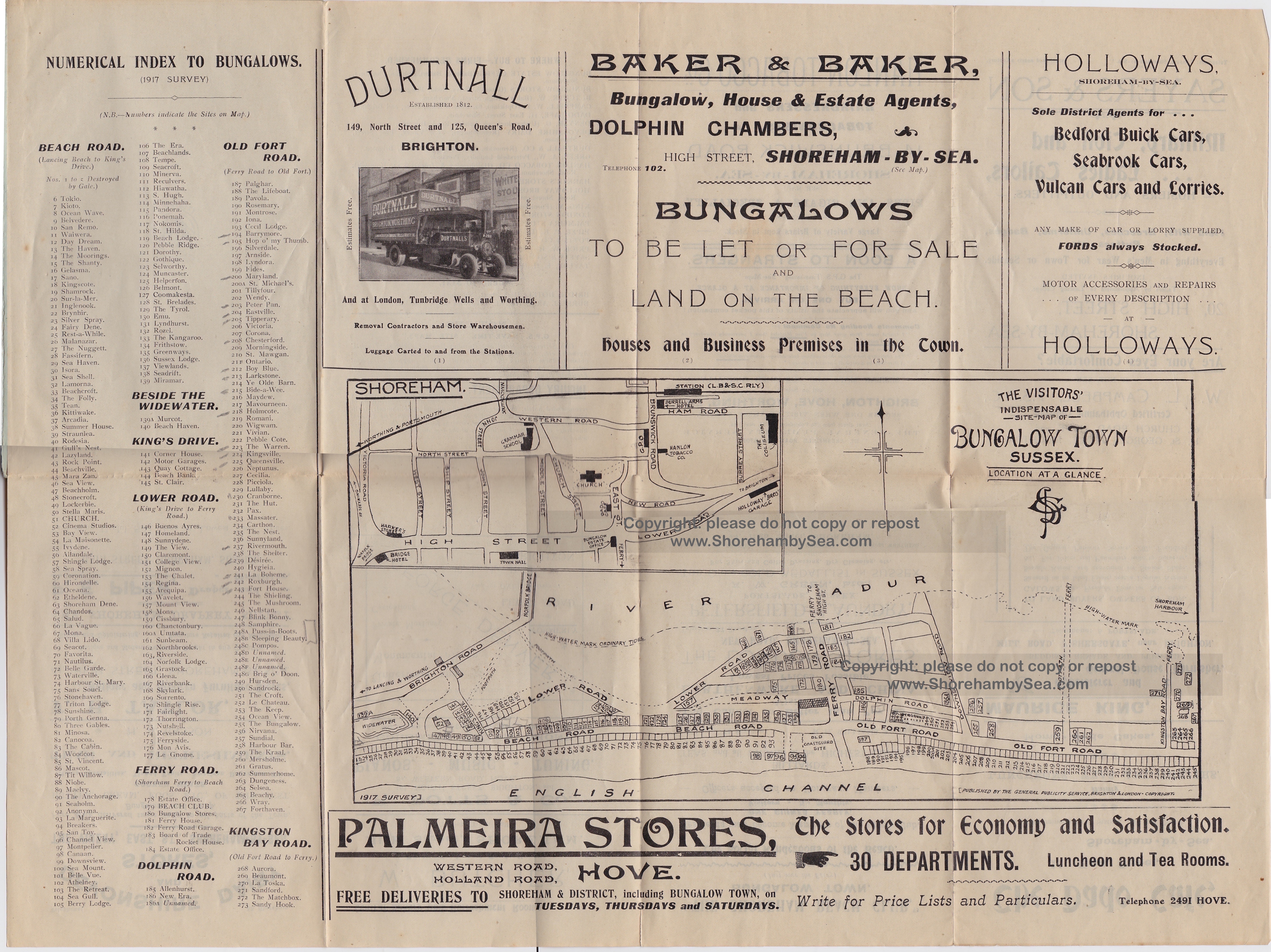
A very rare map of bungalows and their names as they were in 1917 when the growth of Bungalow Town was really getting under way. There are (as to be expected) lots of familiar and new names on this, some for new bungalows and others that were obviously changed. The footprints for each bungalow are not accurate, though, with no real indication of their shape (as with the 1930’s map) only identical hand drawn rectangles for each showing their location. The map year fortuitously coincides with the 1917 street directory (also on shorehambysea.com website) but already that comes up with a few anomalies (different names for some properties on the same spot, probably in part due to frequent name-changes and different time of the year between the two publications – there are even different names for some of the roads!).
These wooden bungalows were often altered, replaced and renamed so that for Bungalow Town enthusiasts this document is a valuable reference that will fill a gap in our knowledge of the area and help resolve hitherto confusing discrepancies.
(Original document donated by Jean Tyler and will be gifted by ShorehambySea.com to West Sussex Records Office.
RB September 2017)