Doodlebug discovery

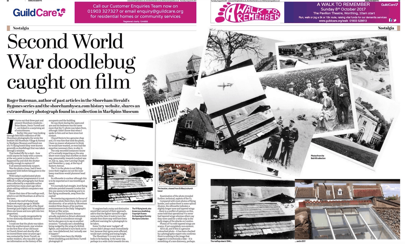
In preparing photos to load on the website we made an interesting discovery when sorting through the Marlipins Museum photos which has led to an article for the Shoreham Herald appearing.

A flying mishap

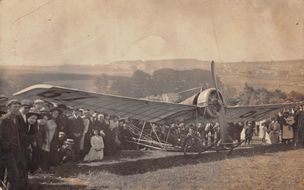
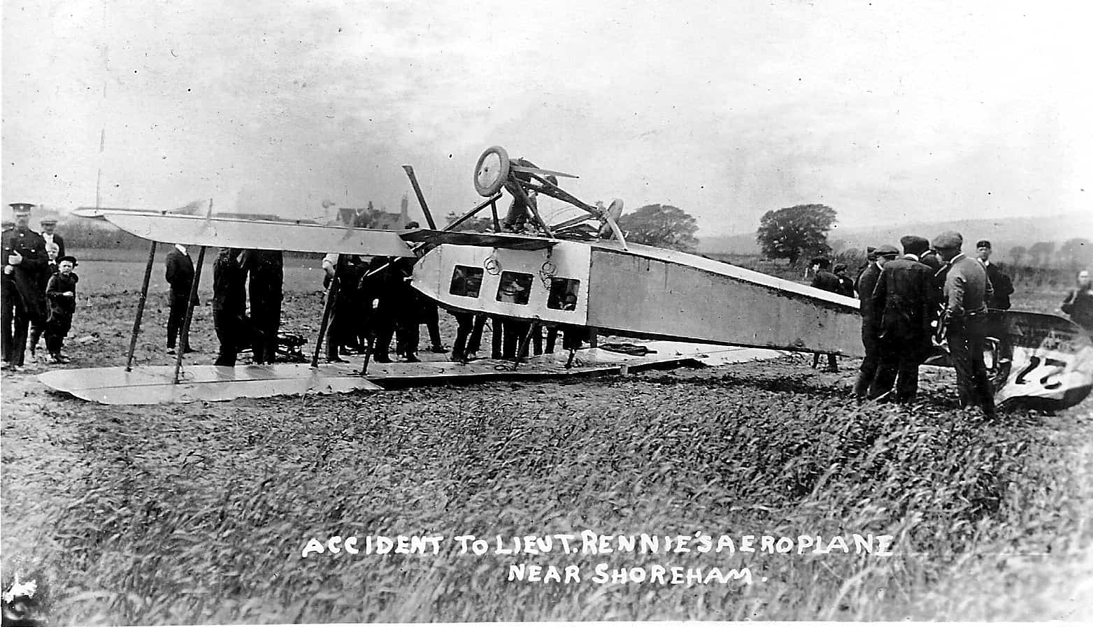
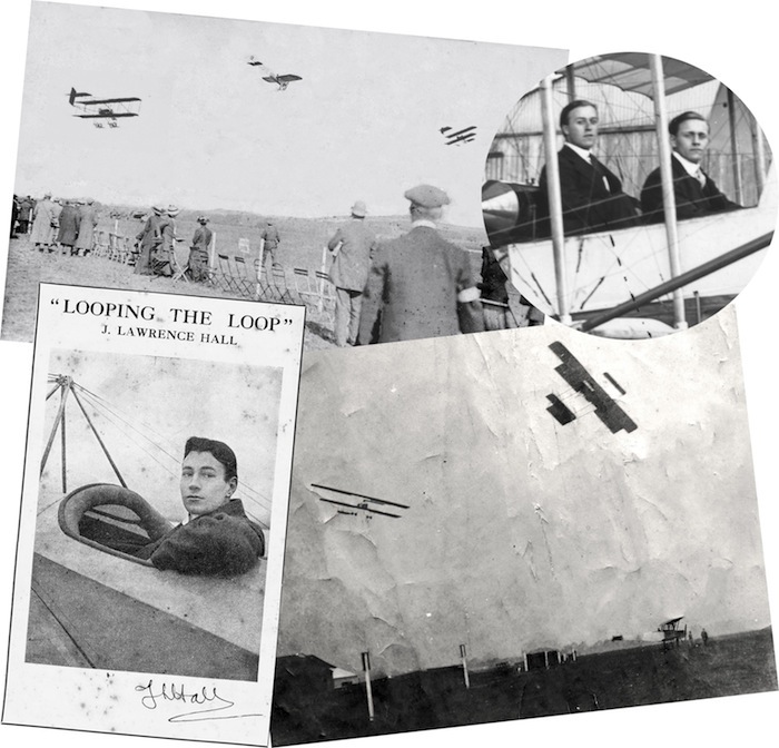
The photograph which shows an upside-down aeroplane in a field, has been taken directly from a postcard that was issued at the time of the incident.
But what do we know about the event?

The aeroplane is a Sopwith D1 three-seater general purpose biplane.  From the number 27 on the tail, we can tell that this example was operated by the RNAS. With a wingspan of 40 feet, and powered by a 7-cylinder Gnome Lambda rotary engine, this type of aeroplane first flew on 7th February 1913.  On 16th June 1914 one of these aeroplanes achieved a new British altitude record of 12,900 feet whilst being flown by Sopwith’s chief test pilot Mr Harry Hawker.
This type of aeroplane carried two observers sitting side by side in the front, with the pilot behind.  Three celluloid transparent windows were fitted in each side of the fuselage to give the observers a downward view.

Continue reading “A flying mishap”

Sussex Aero Club

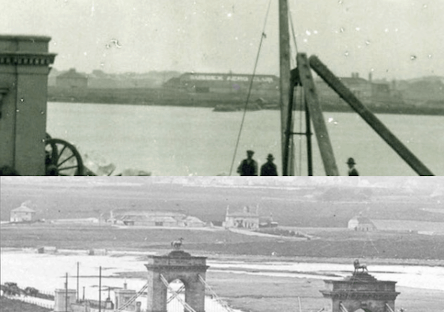
We’ve often seen views across the old suspension bridge to New Salts Farm and barn on the west side of the river south of the railway line but it wasn’t until discussing one image with Paul (Spinalman) that I realised detail from a 1922 shot of the suspension bridge being demolished (top photo) included lettering on the long barn ‘Sussex Aero Club.’ This was a bit of advertising by the owner of the aero club on the main airfield who rented that barn in Easters Field from the farmer. Shortly after, the barn and the field was rented by the Miles brothers to develop and fly their aircraft for a short while in the early years of their Miles Aircraft company before they moved to the north side of the railway.

Shoreham’s Mystery Seaplane Base

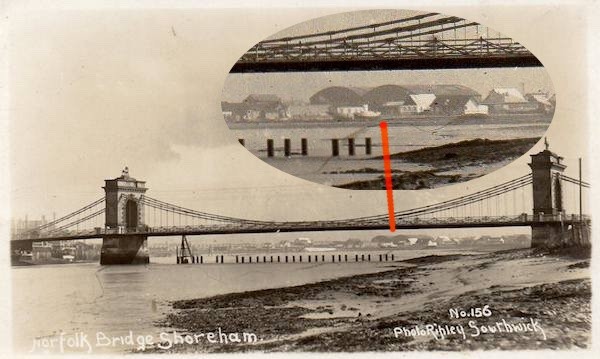
A chance swop of postcards between collectors Neil De Ville and Alan Humphries revealed previously unnoticed buildings on Shoreham Beach. The image is of the old Norfolk Suspension Bridge and across the river below the bridge span two large shed-like structures can be made out.

Photo by permission of Neil De Ville and Alan Humphries

The image has been postitively dated as 1921 by local historians at the time when the Bridge was being prepared for demolition so what were the mysterious buildings for? Their location looked to be near Ferry Road and at first sight 1927 aerial photographs seemed to confirm this by showing their likely footprints on the beach, not just of the structures but also a concrete raft or apron on their seaward side.

Continue reading “Shoreham’s Mystery Seaplane Base”