Pubs, Polo, Pirates or Knights – Tom Jones and The Crown and Anchor
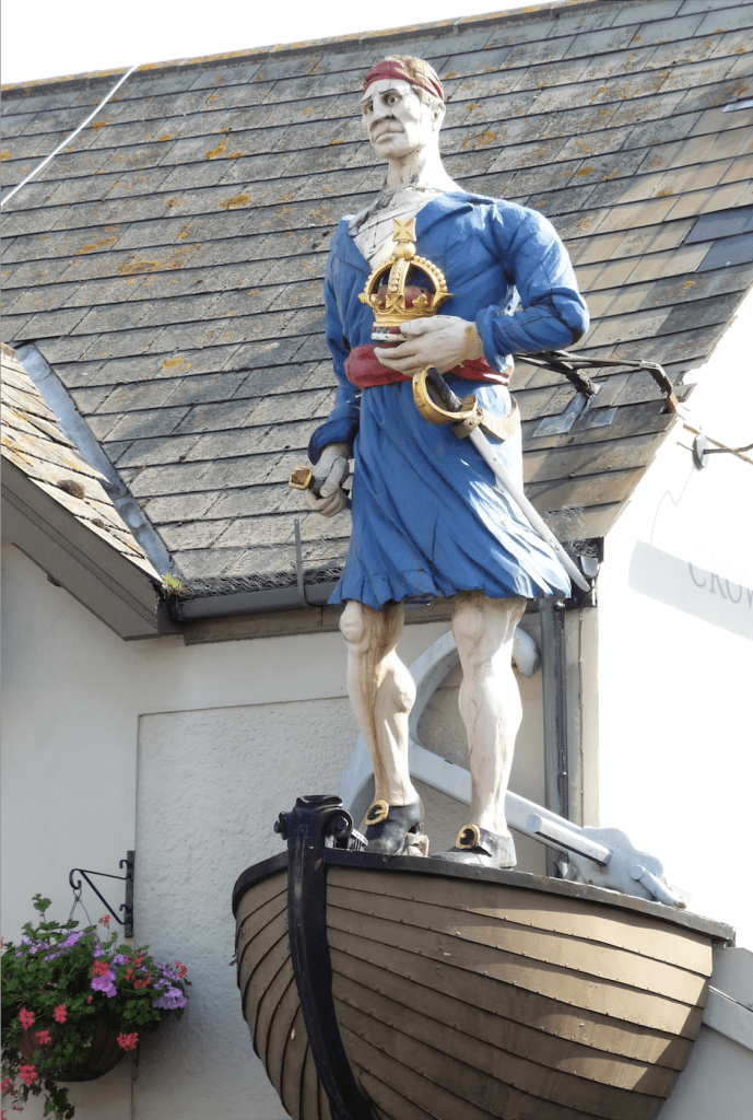
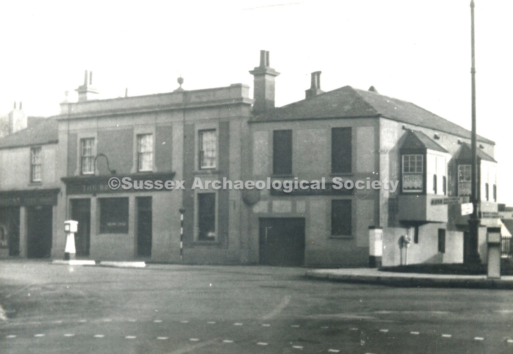
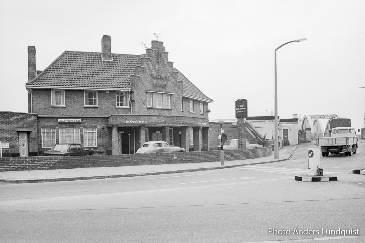
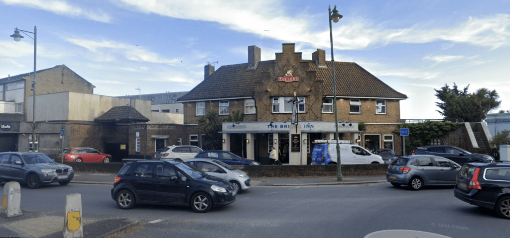
Anyone who has visited Shoreham will have noticed the prominent pirate figurehead mounted high on the Crown and Anchor. As a youth I used to always drive down to Brighton along the more interesting seafront route long before the bypass, and that pirate was one of the curious milestones along with the junior Battersea power station, rows of coloured beach houses and dilapidated pier. It was an unbelievable surprise for me to find out 30 years later, after living in Brighton for a decade then Australia for two, that it was a long-lost relative who originally put it there. While researching the origins of my orphaned grandfather, I pieced together an amazingly colourful detailed story from the late nineteenth century which, on reflection, ends at the Crown below that pirate and various signs above the door and on even the roof reading “Tom Jones“.